

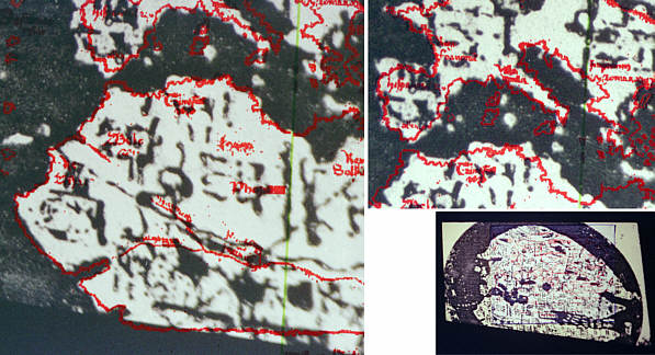
| Here are some attempts to follow the advice given on page 48 of "The Vinland Map: A Short Summary" and match a projected image of the Bianco map to the Vinland Map without reference to the similar experiments in the book. In these photos, the projector was always about 20-25 degrees left of centre, and the slide and printed map were rotated until the best fit was obtained. For the pictures on this page, the projector has been tilted downward by putting a block under the back feet- you can see the shape of the resulting image at bottom right. Although the printed map was moved on the screen between the two detail images on this page, the projector remained fixed. |
|
|