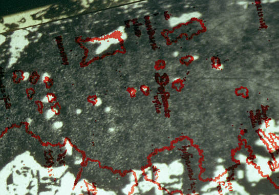
| Here, as a matter of interest, are the Atlantic islands with the projector in the same position as on the last page (but with the map moved slightly on the screen again). The really odd thing here is that they nearly all match fairly well except for the two big ones at the top and the four at far left. But if you moved the map a bit more so that the two big ones did line up properly, what do you think would happen to the group at left? |  |
| That's all from our experiments in this universe. The results are surprisingly different in some ways from those illustrated in the book, but they illustrate exactly the same principle. If you're really keen, you may like to proceed to the pages on medieval geography, or to a summary of some of the early reviews of the official book "The Vinland Map and the Tartar Relation". | |
  | |